Instruments & Infrastructure · Field NotesUnlisted · Field preview
Built at the field station · Android + desk

Field Notes

A field journal for people who manage land. It records what you saw, where you stood and what you did — and it works with no signal, because that’s where the land is.
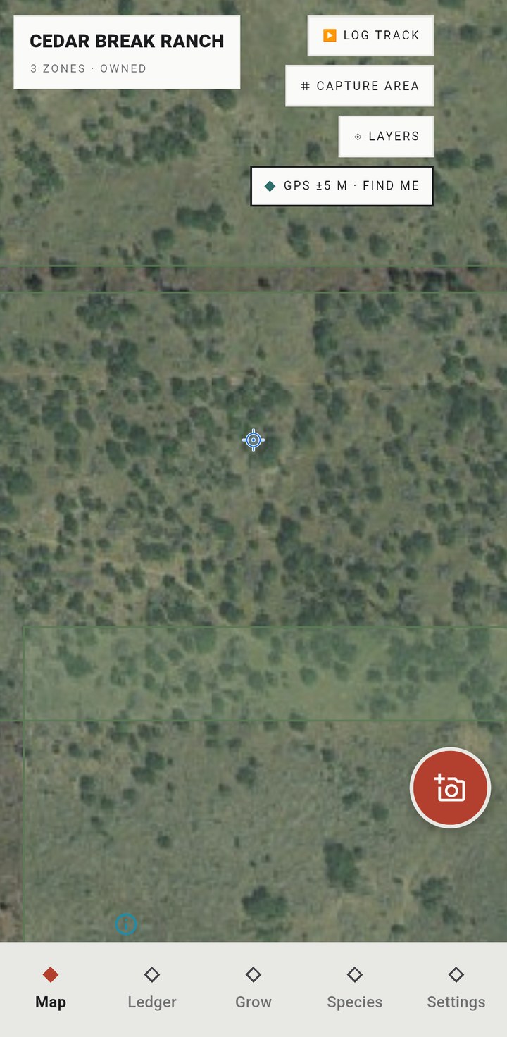
The map tab — satellite imagery with management zones and the live GPS position
01 · The map
The capture flow — camera view with the three-step capture chrome
02 · The capture
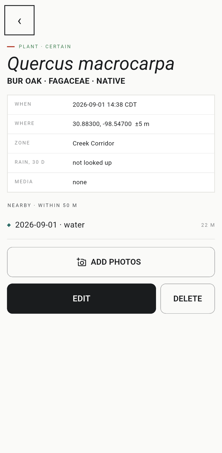
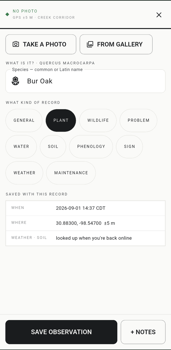
A record — photo, species, location and the facts the app keeps about it
03 · The record

A capture is a photo, a coordinate, a time, and whatever you know about what you’re looking at — a plant, a fence post, a check-in on last spring’s cuttings. Photograph it, say what it is, and it’s saved before you’ve taken three steps.

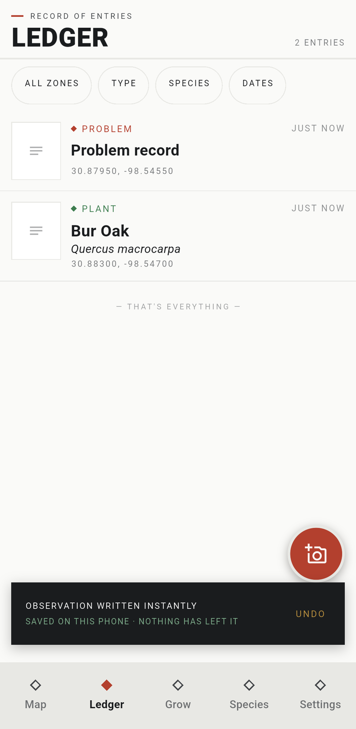
Everything lives on the phone in a plain SQLite database. There is no account to make, no server to sign into, and no feed. Nothing is uploaded anywhere unless you set up a backup and choose where it goes. That isn’t a privacy stance we bolted on afterwards; it’s the only architecture that works when you’re standing in a creek bottom with one bar.

What it does
OfflineFrame any region of the map and download it — vector basemap and satellite imagery both. Captures never wait on a network or a satellite fix to save.
CapturePhotos, a voice note, species, tags, condition — three steps, one thumb, saved with an Undo. A capture with no GPS fix is flagged unlocated, never given a made-up coordinate.
LineageMother plant → batch → plant-out → check-in. Survival percentages are derived from the record, never typed into a box.
Return visitsPhoto points show a ghost of the last frame over the camera, so photo two lines up with photo one — and photo forty with photo one.
Species IDPhoto identification through Pl@ntNet or a language model, under your own API key. A suggestion stays a suggestion until you accept it.
GroundProperty boundaries and management zones from KML or GeoJSON, walked tracks, features with condition logs — the map knows which zone a capture landed in.
EvidenceOne tap builds the packet a cost-share program wants to see: practices, dates, activities, costs, derived survival and the photos to back it up.
The deskA desktop companion that receives from the phone — review records, approve edits, and export map plates and reports as PNG, PDF or Word.
PortableFull export to open formats — SQLite, CSV, GeoJSON, GPX, original photos with their EXIF intact. Leaving is easy on purpose.
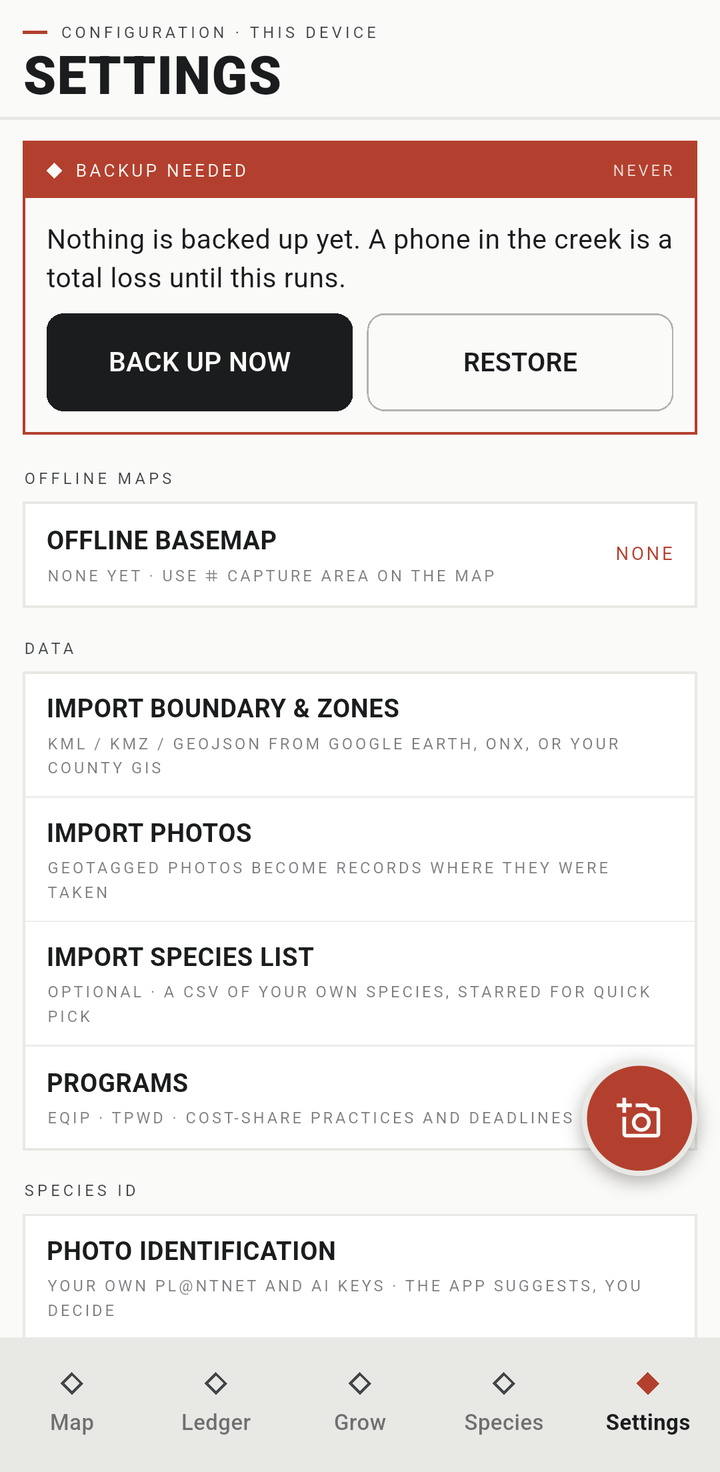
BackupEncrypted with a passphrase and a twelve-word recovery phrase, to a computer on your own network or your own Google Drive. We hold no key and run no server.
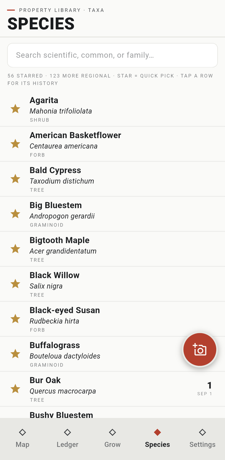
The species tab — the regional species list, starred for quick pick
04 · Species
The ledger — records with the save toast: saved on this phone, nothing has left it
05 · The ledger
Settings — backup with encrypted and plain modes
06 · The backup

The desk, and what it hands out

Field Notes has a desktop side — a companion for the office that receives the phone’s record over your own network, your own Drive, or a backup file, and never starts from a blank page. Records are born in the field; the desk is where you go back over them — review a contributor’s edits, fix a species call, and turn the record into what the work needs next.
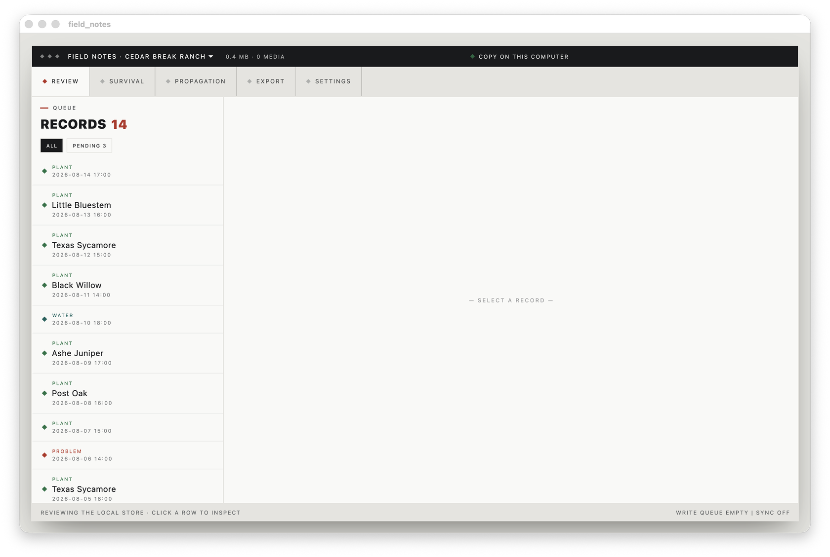
The Field Notes desk app for macOS — review queue of records on the left, inspector pane on the rightThe desk · review queue
The desk receives from the phone · review, refine, export · sync off · nothing on the internet

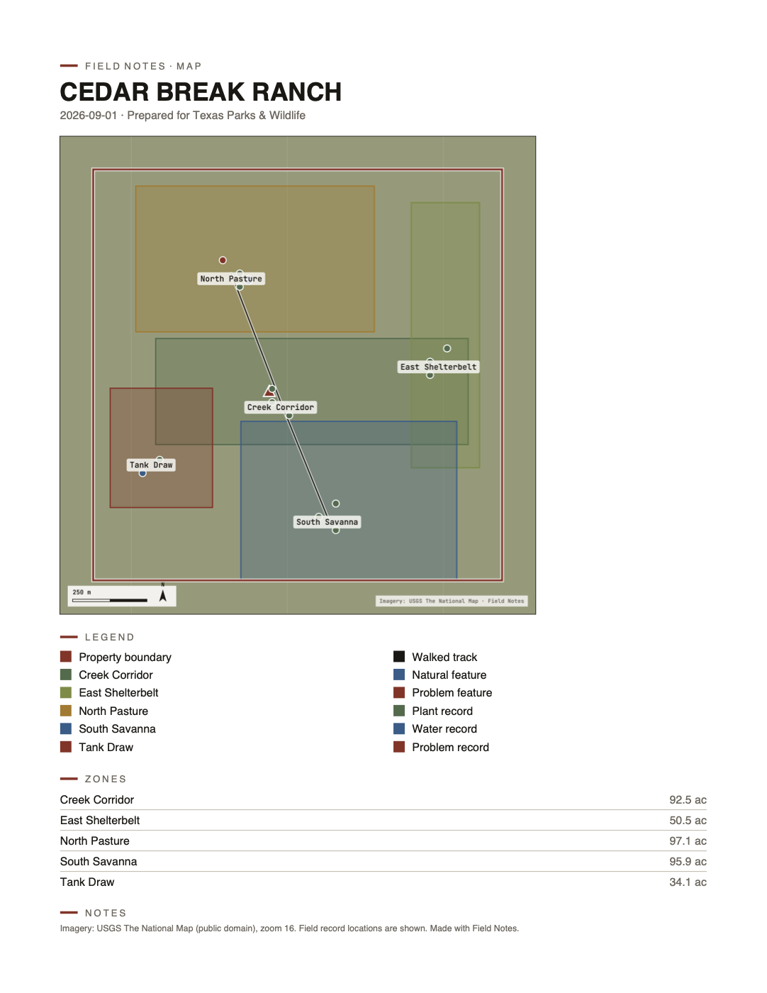
The export bench is the point of it. The same record becomes a drafted map plate as a PNG, a report as a PDF you can hand your biologist or the county program office, the identical document as a Word file when they want to edit it, or an interactive HTML map you can put on a website. Field record locations stay off every export until you deliberately switch them on.
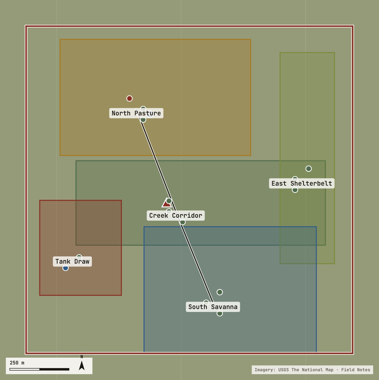
An exported map plate — colored zones, record points and a walked track, with scale bar and north arrowPlate · PNG
The drafted plate · zones, records, tracks · scale, north, attribution
The exported PDF report — plate, legend, zone acreage table and notes on one letter pageReport · PDF
The report · legend, acreage table, notes · the one you hand your biologist

The rules it’s built to

Nothing leaves the phone without you doing something. The phone is where records are born; the desk only ever receives. A machine’s suggestion is never written down as fact. Numbers you’d want to trust later — survival, acreage — are computed from the record, not remembered at the tailgate. And the whole database walks out the door in open formats whenever you ask, because your record of your land should not be hostage to our app.

Where it is

In daily use on the 98.78 acres this site documents — one phone, one desk, every capture on this property since August. It is not in the Play Store yet and there is no sign-up list; syncing between devices is designed and being built, and we’d rather break it ourselves than hand it to you first. When it’s ready for strangers, this page will say so.

On the data

Coordinates of private land are sensitive, and we treat them that way for the same reason this site publishes species observations at section level and keeps precise points off the map. What the app collects stays on the device unless you move it. The full accounting — every case where a byte leaves the phone, and why — is on the privacy page. It’s short, and it’s honest about the one time we got it wrong.

Why we built itWe tried doing this with a notes app, a camera roll and a spreadsheet for about a year. It works right up until you want to answer a real question — how did the cuttings from that one Bur Oak do — and then you find the photos are in one place, the dates are wrong, and the location is whatever the phone felt like recording. The app is the answer to that, and not much more.

Questions or want to try it — shortsresorttx@gmail.com

← Instruments & InfrastructurePrivacy →