The Land
One hundred and three acres above the Lampasas River, twenty years in hay, turning back into prairie, savanna and river corridor.
The field has been in Tifton 85 bermudagrass for twenty years. Good hay. It grows one thing very well and nothing else at all.
We’re turning most of it back into a Limestone Cut Plain mosaic, held with fire and timed grazing instead of a baler. Not a park, and not a reconstruction of some fixed year.
- PrairieBig bluestem, Indiangrass, little bluestem
- Oak savannaOaks standing in grass
- Shrub motteWoody cover on the thin ground
- River corridorBank, shade, filter
None of this is a story about neglect. The land was worked hard by people following the best advice of their day. What we inherited is the honest result of that.
Read the conditions in full →- 01MonocultureTifton 85 across the working field
- 02Bird declineFewer dove, quail and raptors
- 03ErosionCut banks and a scoured drainage
- 04Canopy lossOak wilt and fallen giants
- 05Browse pressureUnchecked deer and feral hog
The Seven Sections
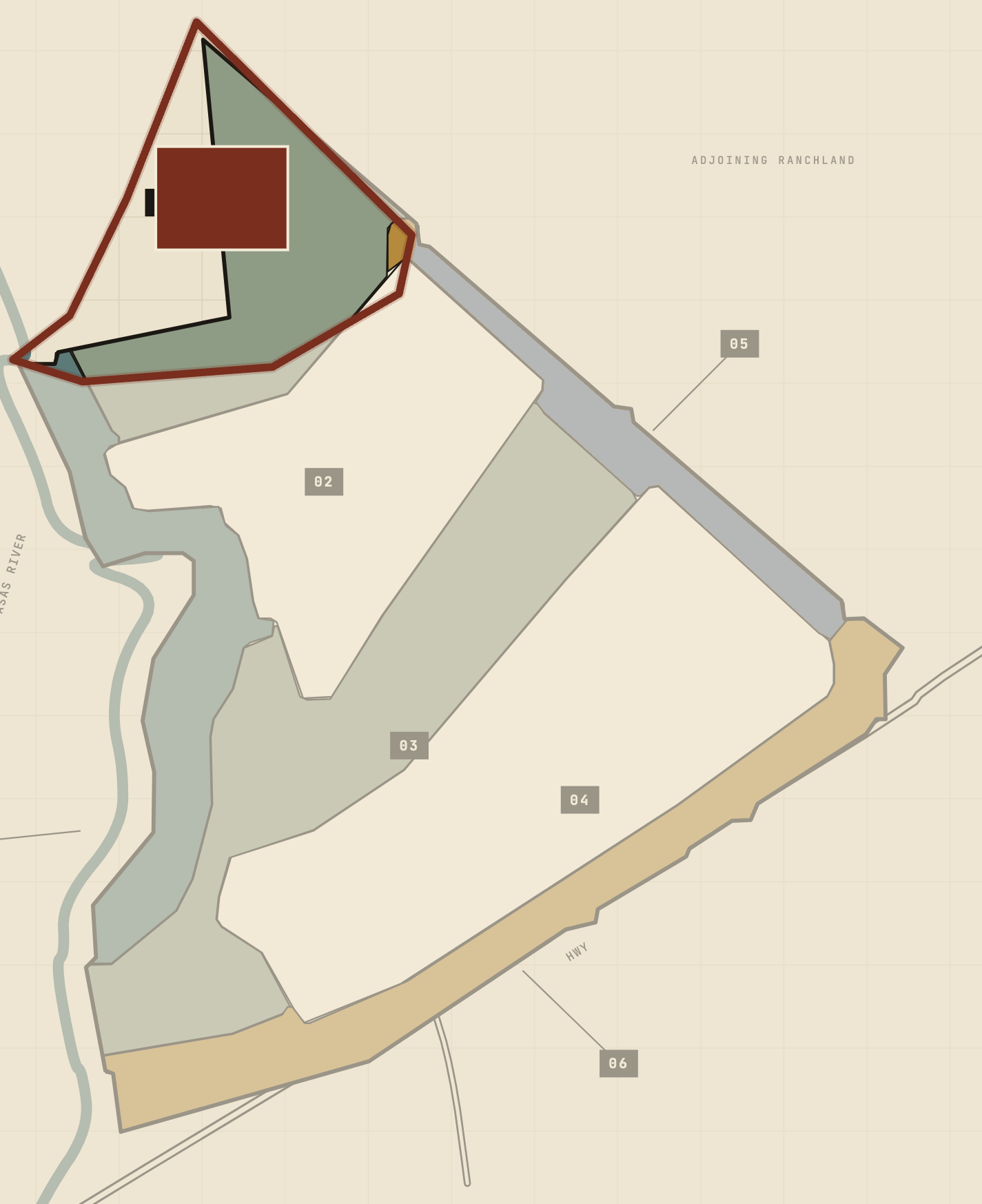 §1SRFS–HDWTR–01
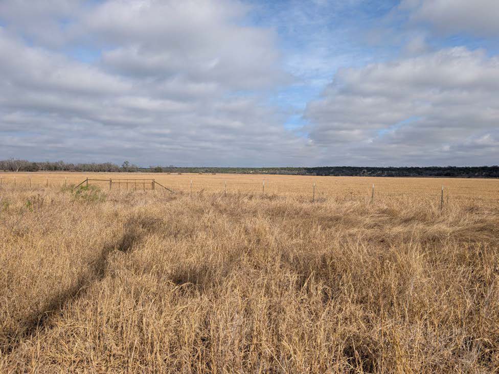 Existing
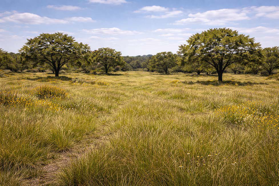 Intended
Western Headwaters Savanna
The spring source wedge; light woody cover over restored short grasses.
The sequence
- June 2026First burndownKnock the exotic grasses down.
- September 2026Second burndownCatch the misses and the regrowth.
- After the burndownsPrescribed fireTake off the dead thatch and open the ground.
- After the fireSeed & plantDrill the native mix; plant the trees and shrubs.
- OnwardGrazing & upkeepDoesn’t finish.
Map Atlas
Sections, replanting, flood, soils, riparian. Everything else here is drawn from these.
The Long Watch
Forty years of survey flights, and this season a frame at a time.
Boundaries are managerial, not legal. Acreages are as recorded in the plan of record.