The Long Watch
Two ways of watching the same ground — forty years of survey flights, and one season a frame at a time. Neither camera belongs to us, which is the point: this is the record somebody else kept of this place whether we were paying attention or not.
The Long Watch
Two ways of watching the same ground. The aerial record is every federal and state survey flight over the tract since 1981 — one pass every few years, sharp enough to see fence lines. The satellite record is this year, a usable frame every week or two. Drag the sliders and the place changes under you: forty years of working ground on the left, one season of restoration on the right.
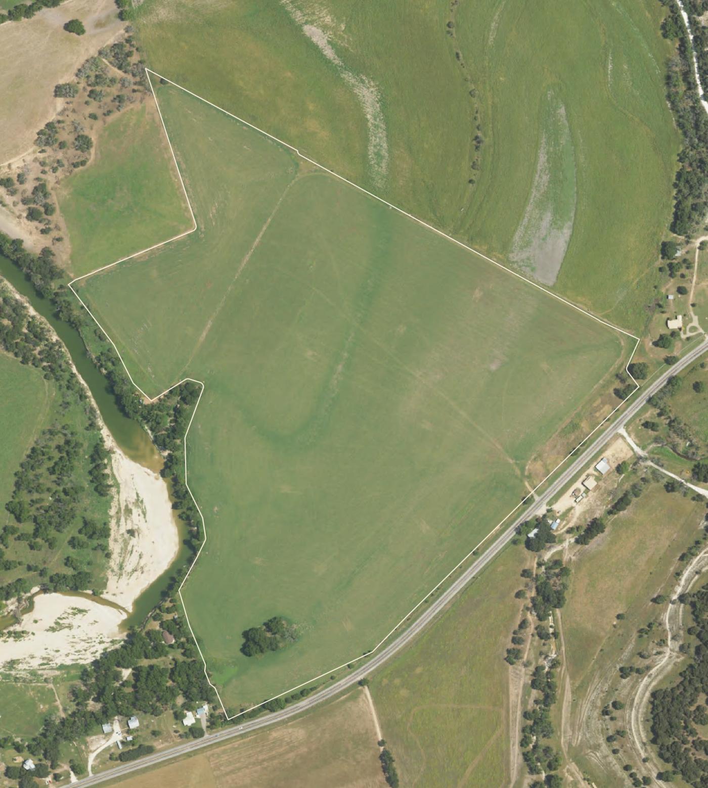
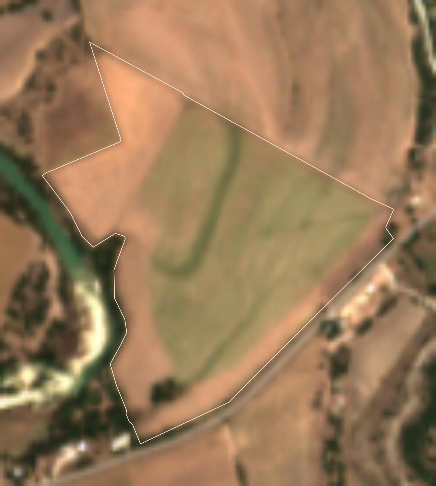
Left: survey flights by USDA (NAIP), Texas (TOP) and USGS (NHAP); the early frames are color-infrared — red is growing vegetation — and 1996 is black and white. Right: Sentinel-2, ten-meter pixels smoothed for the eye — a pulse, not a photograph; the pale ground that opens up from late July on is the first burndown. By September the rest of the tract is browning off too, which we read as late summer rather than treatment. The bone line is the tract.